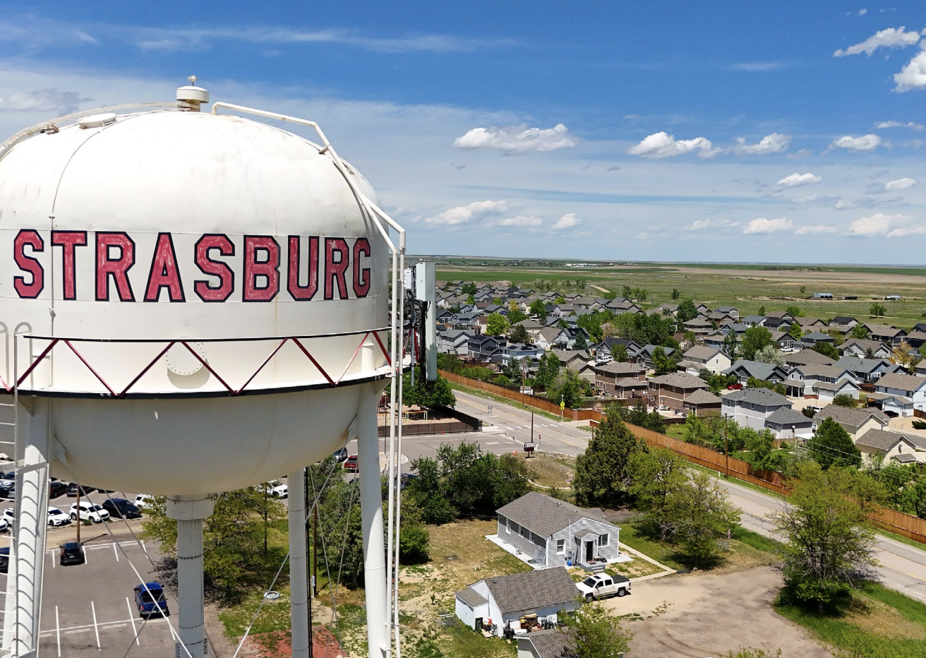
Adams County's Board of Commissioners voted to adopt the Strasburg Subarea Plan at a public hearing on Tuesday, July 7, formalizing a 25-year framework for growth in the unincorporated community that straddles the Adams-Arapahoe county line. Arapahoe County's Board of Commissioners is scheduled to take its own final adoption vote on Tuesday, July 14, which would complete approval on both sides of East Colfax Avenue, the road that divides the two jurisdictions through downtown Strasburg.
The plan, branded Strasburg 2050, replaces a 2002 Strasburg Plan that significantly overestimated the town's growth trajectory. That earlier document anticipated a population of 10,000 to 12,000 residents by 2020; the actual 2020 population came in at 4,376. Planners are using more conservative modeling this time, projecting Strasburg's Planning Area population to grow from 4,703 in 2024 to somewhere between 6,889 and 7,761 by 2050, based on combined ESRI and DRCOG forecasts.
Adams County's Community and Economic Development Department led the effort alongside Arapahoe County's Public Works and Development division, with the process running from summer 2024 through a public draft review period, community open houses, a resident and business owner survey, and Planning Commission approval. A companion Neighborhood Economic Development Strategy (NEDS), included as an appendix, quantifies the gap the plan is trying to close: an estimated $93.8 million in retail demand leaves Strasburg annually, commercial vacancy sits below 1%, and 92.6% of residents commute outside town for work, averaging 32.5 miles compared to the Adams County average of 17.9 miles.
The plan's most tangible near-term target is the East Colfax Avenue corridor itself. A sidewalk and roads audit conducted in April 2025 found sidewalk widths ranging from 2.5 to 10 feet, missing segments between Adams Street and Comanche Drive, and no meaningful stormwater infrastructure through the downtown core. In response, the plan lays out a conceptual redesign of the 78-foot right-of-way that would carry 13 to 16 feet of pedestrian space and angled on-street parking on each side, paired with design standards favoring false-front western façades, build-to-the-street siting, and dark sky-compliant lighting to replace existing cobra-head fixtures. Four intersections — East Colfax Avenue and Strasburg Road, East 26th Avenue and Strasburg Road, East 26th Avenue and Piggot Road, and Piggot Road and East Colfax Avenue — are flagged for safety and gateway treatments.
On land use, the plan caps future mixed-use development at 14 dwelling units per acre to preserve the town's rural context, including a 200-acre parcel northeast of Piggot Road and East Colfax Avenue that's expected to be developed with residential density oriented toward commercial frontage on the corridor. A new "Recreation Commercial" land use category was also created around assets like the Comanche Crossing Museum, the site of the 1870 completion of the transcontinental railroad, and a proposed community recreation center.
"Strasburg is poised for some tremendous opportunities over the next few years, and we want to make sure we manage growth through a thoughtful and deliberate process," said Julie Duran Mullica, Chair of the Adams County Board of Commissioners. "This plan puts us in position to do that while ensuring the residents who live in the area can maintain the rural lifestyle that makes Strasburg such a great place to be."
"Technical expertise and professional skill alone cannot make a great plan — it needs to have the voice of the community woven throughout," said Jenni Hall, Adams County's Community & Economic Development Director.
If Arapahoe County's commissioners approve the plan on July 14 as expected, Strasburg 2050 becomes a formal component of both counties' comprehensive plans, guiding — though not zoning — how the town absorbs growth along I-70 through the middle of the century.